For utility locators & damage prevention
Document every locate — with proof you can defend
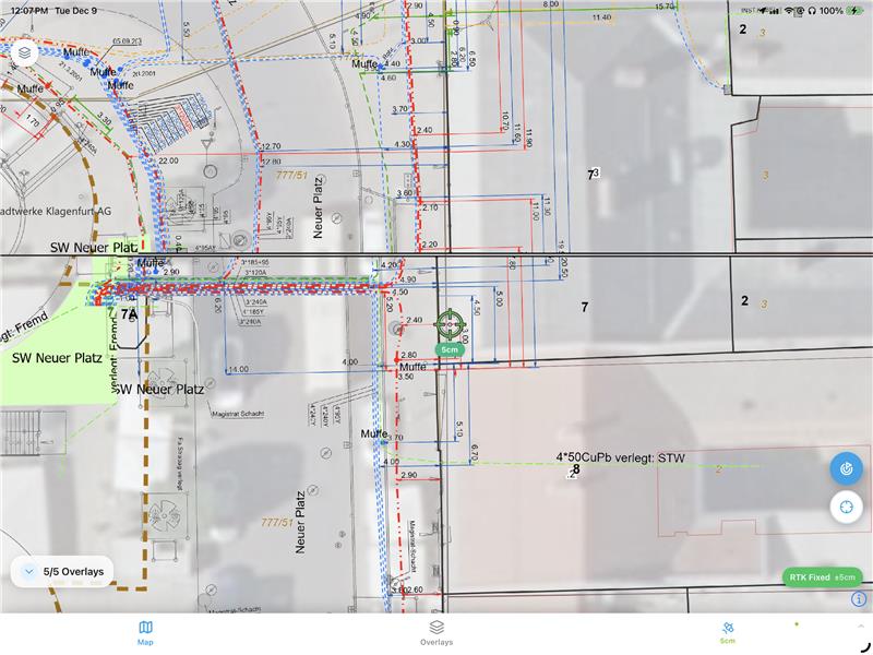
Mark located utilities with depth and attributes to centimeter accuracy, using your vLoc locator and GNSS. Every locate becomes a timestamped, geotagged record — an audit-ready trail aligned to 811 / CGA / ASCE 38 before-you-dig workflows.
Who it's for
Built for the locate crew
Utility Locator
Capture the locate as you mark it
Record located lines with type, depth and attributes to centimeter accuracy in the field.
Damage Prevention
Evidence for every ticket
A timestamped, geotagged before-you-dig record aligned to 811 and CGA best practices.
SUE Engineer
Quality-level attributes
Capture with the metadata subsurface utility engineering needs, ready for CAD.
Locate Firm Owner
Fewer callbacks and restakes
A clean audit trail cuts disputes and reduces costly return trips.
For utility locators & damage prevention
Key Features
- 01
One-tap locate capture
Mark located utilities with type and depth as you walk the line.
- 02
Works with your vLoc locator & GNSS
Pair a Vivax-Metrotech vLoc locator with your GNSS receiver for centimeter-accurate positions.
- 03
Depth of cover & attributes
Record depth, size, material and quality level on every line.
- 04
Before-you-dig evidence
A timestamped, geotagged record aligned to 811 / CGA / ASCE 38 workflows.
- 05
Fully offline
Capture anywhere; everything auto-syncs when back in coverage.
- 06
CAD / GIS export
One-click export to DXF, Shapefile, GeoJSON and PDF.
For utility locators & damage prevention
Why teams love it
- A defensible, audit-ready record of every locate
- Works with your Vivax-Metrotech vLoc locator and GNSS
- Aligned to 811 / CGA / ASCE 38 before-you-dig workflows
- The same app your crew uses for measurement and as-builts