For Site Managers, Foremen & Cost Engineers
Measure, stake and bill the site yourself
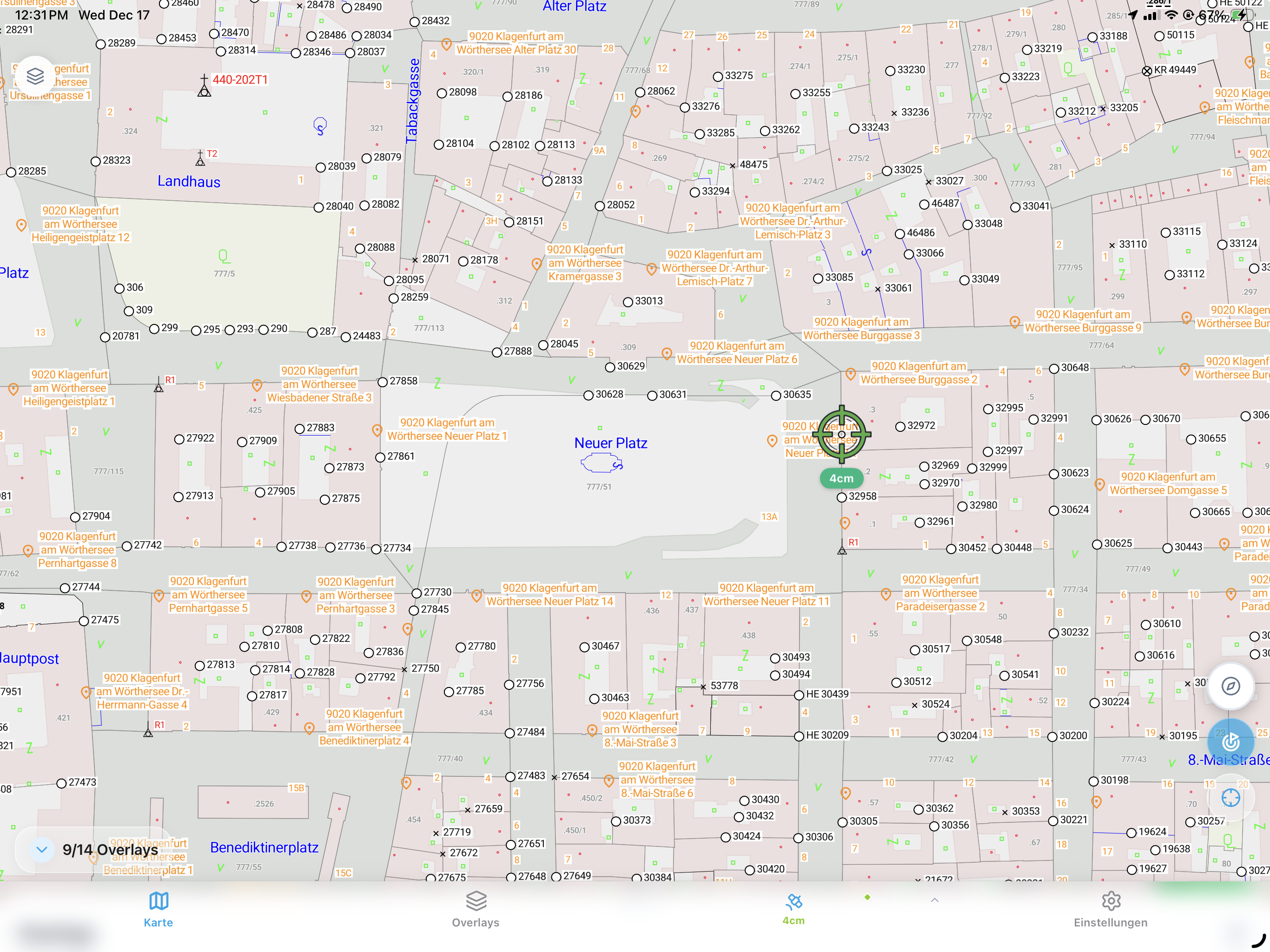
Capture layout, as-builts and quantities to centimeter accuracy from the digital plan — no waiting on the surveyor. Every point syncs to the office with a timestamp: an audit-ready record for billing and handover.
Who it's for
Built for the whole crew
Foreman
Run the crew, capture as you go
Measure points, lines and areas one-handed on site — no surveying training, no waiting for a surveyor.
Site Manager
See the whole site, prove every metre
Live field visibility and a defensible, timestamped record for oversight and handover.
Cost Engineer
Bill every metre
Audit-ready measurement reports with quantities — fewer disputes, nothing missed.
Project Manager
The field on your screen
Every capture syncs to the office in real time, with a full traceable project history.
For Site Managers, Foremen & Cost Engineers
Key Features
- 01
One-tap measurement
Points, lines and areas from the plan; area and perimeter calculated on the spot.
- 02
Stake-out navigation
Navigate to design points with live GNSS guidance to centimeter accuracy.
- 03
Plan import
Load PDF, DXF or DWG site plans and work directly from them.
- 04
Photo documentation
Geotagged photos with timestamp and heading, placed on the plan.
- 05
Measurement reports
Audit-ready PDF reports with plan views, coordinates and quantities.
- 06
CAD/GIS export
One-click export to DXF, Shapefile, GeoJSON and PDF.
For Site Managers, Foremen & Cost Engineers
Why teams love it
- 6x faster site measurement than tape and measuring wheel
- Operated by the crew — no waiting on the surveyor
- Audit-ready documentation for billing and handover
- Productive on site in about 20 minutes